Municipality of Pellingen
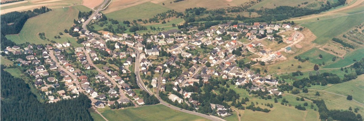
The attractive residential community of Pellingen, which is still partly agricultural, is located on the western Hunsrück plateau. The local community finds its transport connection through the federal highway 268, which leads from Trier to Zerf and is popularly known as “the Pellinger”.
This street roughly forms the dividing line between the old town center below and the new development areas extending outside. First documented mentions date from 973 as Pellinc and from 1036 as Pellinch. Since the Middle Ages, the Trier Abbey of St. Matthias has held the basic jurisdiction and was the most important landlord in the town.
In 1794, the defenders of Trier and the attacking French troops fought the last battle in their entrenchments near Pellingen. When American units tried to conquer Trier against German resistance, the town found itself in a similar situation in 1945. A war memorial on the Höthkopf in front of the town entrance commemorates these battles.
Sights - e.g.
Roman fragments, Pellingen
Roman fragments have been incorporated into the Catholic parish church of St. Antonius in Pellingen. A Roman relief mask with lateral foliage (fragment of a tomb monument) is walled into the north corner of the tower. Inside there is a richly reliefed Roman stone beam (vine leaf ornament) with a sculpted Genius, used as a priest's seat.
additional
War memorial, old school, historic farmhouse, church interior

Heraldry (Heraldry)
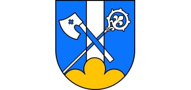
Over a golden three-mountain, in blue a silver pole, covered with crossed silver crosier and axe.
The existing coat of arms of Pellingen shows a silver pole on a golden three-mountain in blue. The stake points to the Old High German word root of the place name pal = stake; the Dreiberg on the Pellinger height.
Landlord in Pellingen was the Abbey of St. Matthias, Trier. As a reference to them, the crosier and the ax have been added.


